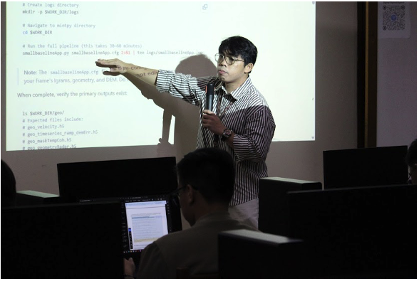
LInOG Project Conducts InSAR Training Workshop for PHIVOLCS Technical Staff
UP-NIGS, through the Leveraging InSAR for Observation and Modeling of Earthquake Generators (LInOG) Project, recently concluded a five-day InSAR training workshop for technical personnel from the Philippine Institute of Volcanology and Seismology (PHIVOLCS).
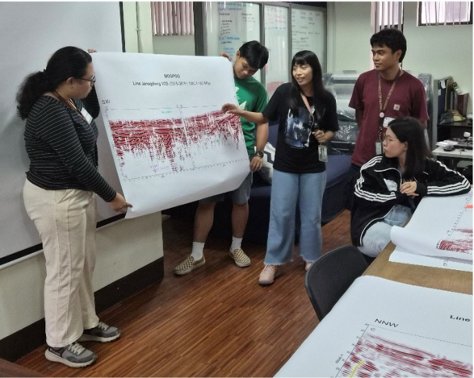
Strengthening Geophysical Competence: NIGS Successfully Conducts Refresher Workshop
Thirteen undergraduate geology students from the National Institute of Geological Sciences, Adamson University, Mapúa University, Caraga State University, and Partido State University participated in the Refresher Workshop in Geophysics: From Theory to Practice, held at NIGS on June 29–30, 2026. Designed to bridge theoretical concepts with practical field applications, the workshop equipped participants with fundamental knowledge and skills in the use and interpretation of geophysical techniques for subsurface investigations.
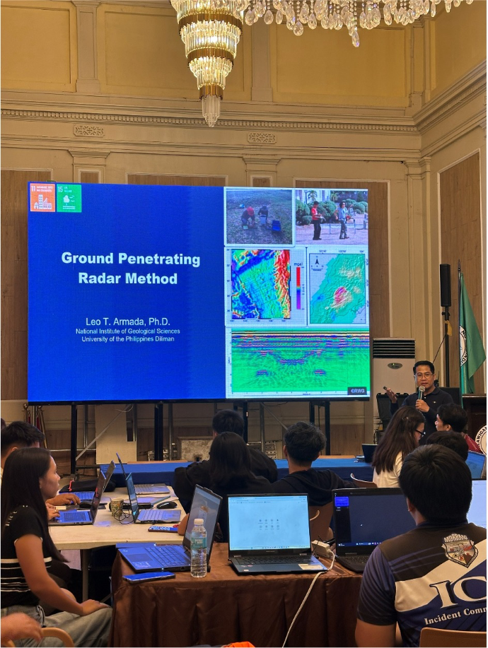
NIGS Researchers Conduct Ground Penetrating Radar (GPR) Seminar-Workshop in Marinduque
Researchers from the NIGS Rushurgent Working Group (RWG) Laboratory successfully conducted a Ground Penetrating Radar (GPR) Seminar-Workshop in Marinduque Province on June 9, 2026. The activity was co-organized with the Marinduque Provincial Disaster Risk Reduction and Management Office (PDRRMO) as part of ongoing efforts to enhance local capacities in geohazard assessment and disaster risk reduction.
Dr. Alyssa Peleo-Alampay Nannoworks talks about Climate Change in Nickel Asia Corporation and CANVAS’ First
Nickel Asia Corporation (NAC), in partnership with The Center for Art, New Ventures & Sustainable Development (CANVAS), held their first #AralLakbay event over the weekend at the National Museum of Fine Arts in Manila. The program, aimed at children of NAC employees, used storytelling, art, and history to teach about climate change.
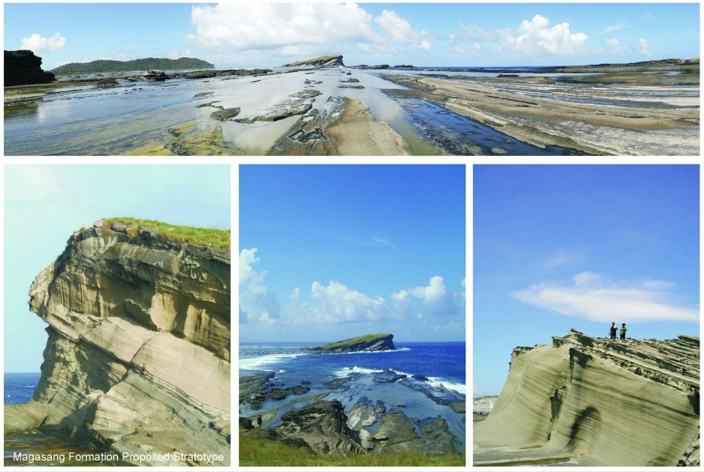
Biri Rock Formation: The Latest National Geological Monument
Last March 23 to 26, 2025, a team composed of geologists from the Mines and Geosciences Bureau (MGB) and Dr. Allan Gil S. Fernando of the National Institute of Geological Sciences (NIGS), representing the National Committee on Geological Sciences (NCGS), conducted a fieldwork to provide technical assistance in gathering data that will be used to support the establishment of Northern Samar as one of UNESCO’s Global Geopark.
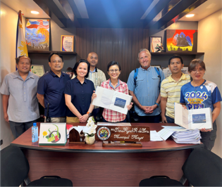
Borongan City Invites UP NIGS for Their Cultural Mapping and Geological Assessment: An Attempt to Find a New NGM Site
Members of the Nannoworks Laboratory led by Dr. Allan Fernando conducted a coordination meeting with the Local Government of Borongan on Wednesday, January 7, at the Mayor’s Conference Room to discuss cultural mapping and preliminary geological assessment activities in the city from January 8, 2026, to January 11, 2026.
UP-NIGS Partners with Balangiga LGU for Resilient Development
The National Institute of Geological Sciences (UP-NIGS) and the Local Government Unit (LGU) of Balangiga, Eastern Samar, formalized their partnership through the signing of a Terms of Reference (TOR). This agreement aims to provide initial geological information for the Balangiga River Watershed, serving as a foundation for the Municipal Disaster Risk Reduction and Management Plan (MDRRMP) and Comprehensive Land Use Plan (CLUP) of the Municipality of Balangiga.
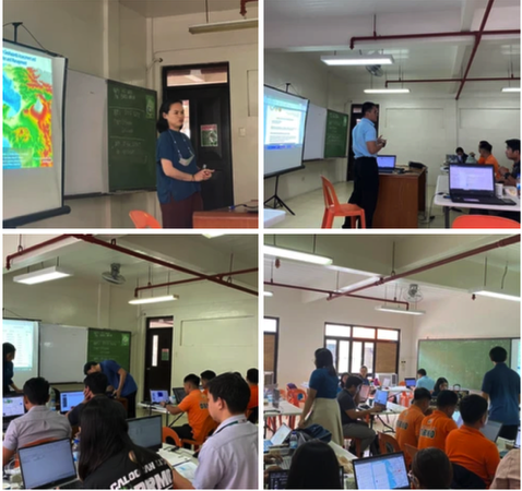
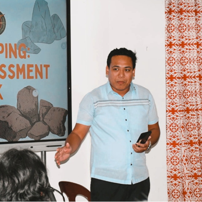
GEAR Lab conducts QGIS training for Caloocan City LGU Personnel
GEAR Lab held a 2-day QGIS training for the Caloocan City Disaster Risk Reduction Management (DRRM) and City Planning last 27-28 June 2024 at the University of Caloocan City. Dr. Noelynna Ramos introduced GIS and its various applications. Ms. Andrea Denise Pamintuan and Mr. Lyndon Nawanao Jr instructed four modules, together with three GEAR undergraduate assistants: Mr. Zebedee Trebur Aguas, Ms. Kryzell Carmona, and Ms. Alena Taladua. The training focused on basic GIS, DEM processing, database management, and data visualization. This event was organized by the Department of Science and Technology (DOST)-NCR.
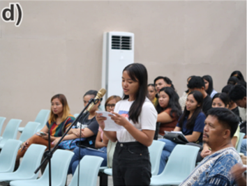
IEC activities conducted in Kalinga
The Department of Science and Technology (DOST)-funded projects, Growth of An Island Arc (GAIA) program and Marine and Onshore Geophysical Investigations of the Manila subduction zone (MOGI), conducted the "Geo-Lecture Series: Geology and Geohazards in Kalinga" at the Kalinga State University last August 10, 2023 as part of their Information, Education, and Communication (IEC) campaign.
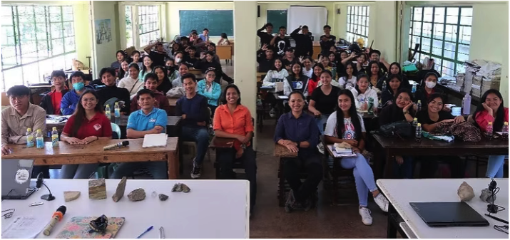
IEC conducted in Sagada, Mountain Province
The DOST-funded research project titled “Project 1. Evolution of the Luzon Arc: From Igneous to Sedimentary Processes” under the program “Growth of an Island Arc (GAIA): Tectonic Consequences and Human Impacts” conducted an Information, Education, Communication (IEC) campaign to the STEM senior high school students and faculty in Sagada National High School last May 3, 2024. This activity is in line with the project’s continuous commitment to give back to the community, and raise awareness in the geosciences and the better understanding of geologic processes that constantly affect communities.