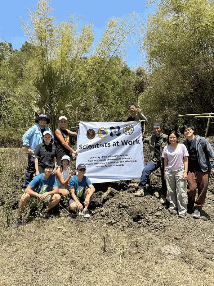
Researchers of the Geomorphology and Active Tectonics (GEAR) Laboratory at UP NIGS conducted field activities in Northern Luzon from 28 March to 06 April 2026, as part of the DOST-funded project “Seismic Hazard Assessment and Paleoseismology and Earthquake Sources in Northern Luzon, Philippines (SHAPES)”. In collaboration with the Philippine Institute of Volcanology and Seismology (PHIVOLCS) and the National Taiwan University (NTU), the project aims to evaluate the seismic hazard in Northern Luzon through detailed geomorphological surveys of active faults, creation of a comprehensive database of fault parameters, and modeling of site-specific seismic hazard assessment scenarios.
Field activities were initially conducted in Cervantes, Ilocos Sur to document and map morphotectonic features (e.g., fault scarps, offset streams, offset alluvial fans) related to the Ambuklao Fault, which is south of the Abra River Fault.
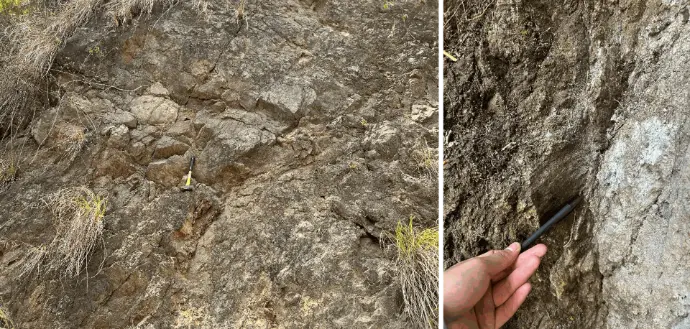
Shear zone outcrop in Quirino, Ilocos Sur (left), and slickenlines on an outcrop in Cervantes, Ilocos Sur (right).
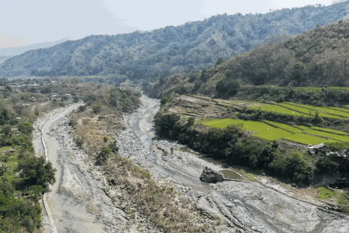
Multiple fluvial terrace levels along the Abra River in Cervantes, Ilocos Sur. The active terrace can be seen along the current river level.
In Tayum, Abra, paleoseismic trenching was conducted to locate the trace of the Abra River Fault and measure offset layers on the trench wall. Charcoal samples were also collected for radiocarbon analysis to constrain the age of the layers and possible earthquake events.
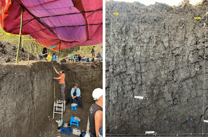
Soil sampling of the north trench wall (left), and a close-up of the 1x1m grid of the north wall (right). Pins indicate lithologic contacts between layers.
The research team from the National Institute of Geological Sciences (Dr. Noelynna Ramos, Rafael Gaite, Danaxiane Marpuri, Hazel Andrea Vidal), the Philippine Institute of Volcanology and Seismology (Jeffrey Perez), and the National Taiwan University (Dr. J. Bruce Shyu, Dr. Yu Wang, Chun-Chi Chen, Hoi Ling Birdie Chou, Andrew Ho).