Building on its earlier capacity-building activities, NIGS, through the LInOG Project, held another InSAR training workshop from October 20 to 23, 2026, this time bringing together participants from the Philippine Space Agency (PhilSA), the UP Department of Geodetic Engineering (UP DGE), and the UP National Institute of Geological Sciences (UP NIGS).
The workshop was designed to give participants a clearer understanding of how satellite radar interferometry, or InSAR, can be used to observe movement of the ground such as subsidence. Through lectures and hands-on activities, they worked with actual satellite data from Central Luzon and learned how to recognize patterns that may be related to land subsidence, earthquakes, and other sources of ground deformation.
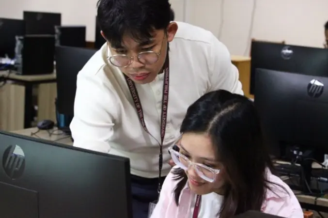
The latest training also placed greater emphasis on interpreting results and evaluating whether observed signals represented actual ground movement or errors in the data. Participants worked in groups to examine processed maps, compare observations with other available information, and discuss how InSAR may be applied in their own research and monitoring work.
By the end of the workshop, participants showed notable improvements in their confidence in working with InSAR data, with most able to complete nearly all of the training workflow. The activity further supports the LInOG Project’s goal of strengthening local expertise in satellite-based ground deformation monitoring and expanding its potential applications in research, hazard assessment, and earth observation in the Philippines.
LInOG (Leveraging InSAR for Observation and modeling of earthquake Generators) is a DOST PCIEERD Grants-in-Aid-funded project that supports Sustainable Development Goals 4 (Quality Education) and 11 (Sustainable Cities and Communities).